I’ve occasionally felt that the NY Times’ coverage of California is a little out of touch. Today’s Daily episode more so than usual.
The thesis of the episode seemed to be: “The reason wildfires are increasingly deadly in California is that people keep building housing on the border of a wilderness likely to burn. We should just be moving people away from those places.”
The story mentioned that fires are increasingly likely due to climate change but focused mostly on where counties build housing. A listener not physically in California might think, “Ah, so this is all predictable; it’s just that people are building where the fires are.”
But that’s not true. Nearly 3 million acres have burned in California so far: which is a record in state history. Nearly twice as much land is burning in Oregon this year compared to the yearly average. It’s not that people know where burning will happen: we just know that burning will happen, one way or the other. Yes, people are building on the border of the wilderness due to a housing crunch. But if that were the real issue, we could just create a larger boundary between those areas and the woods. We can’t build around the record number of acreage burning.
Not to mention – just like the coronavirus – death and home destruction are only the immediate outcomes of these fires. Here’s a map of the state from airnow.gov: 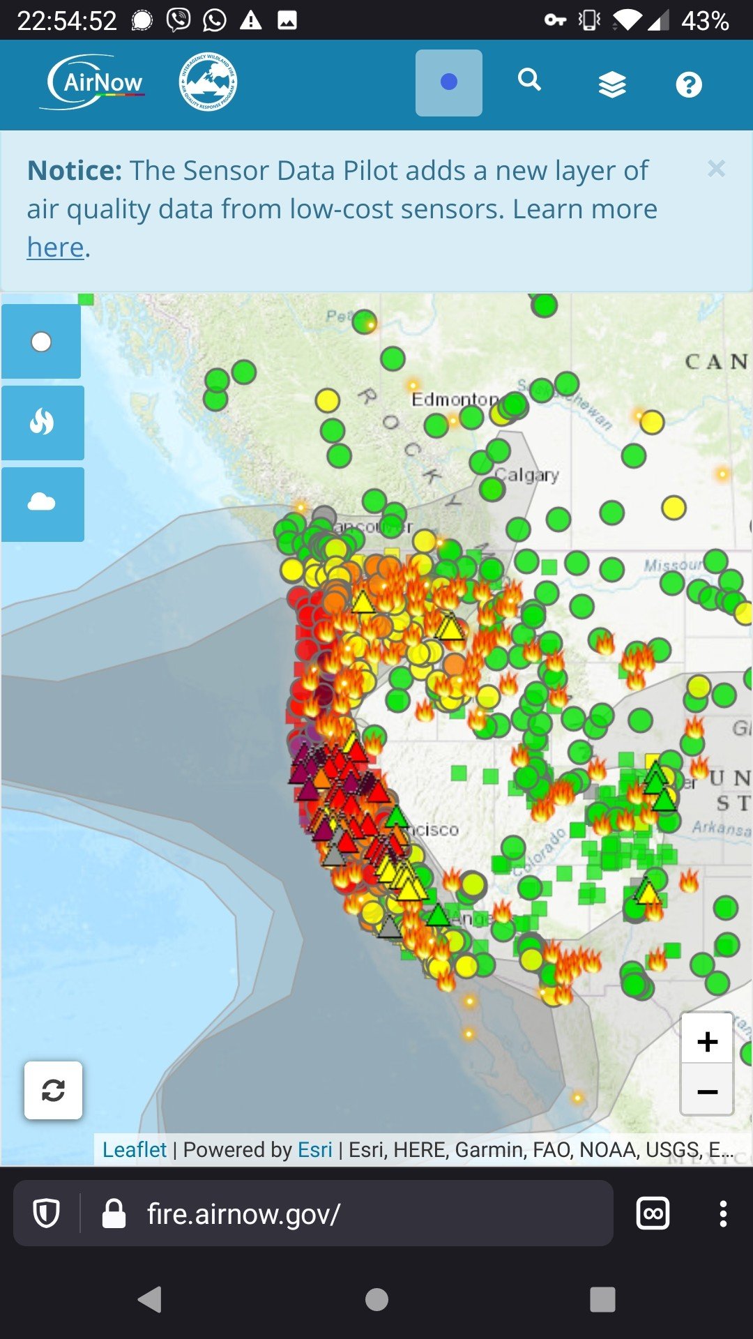
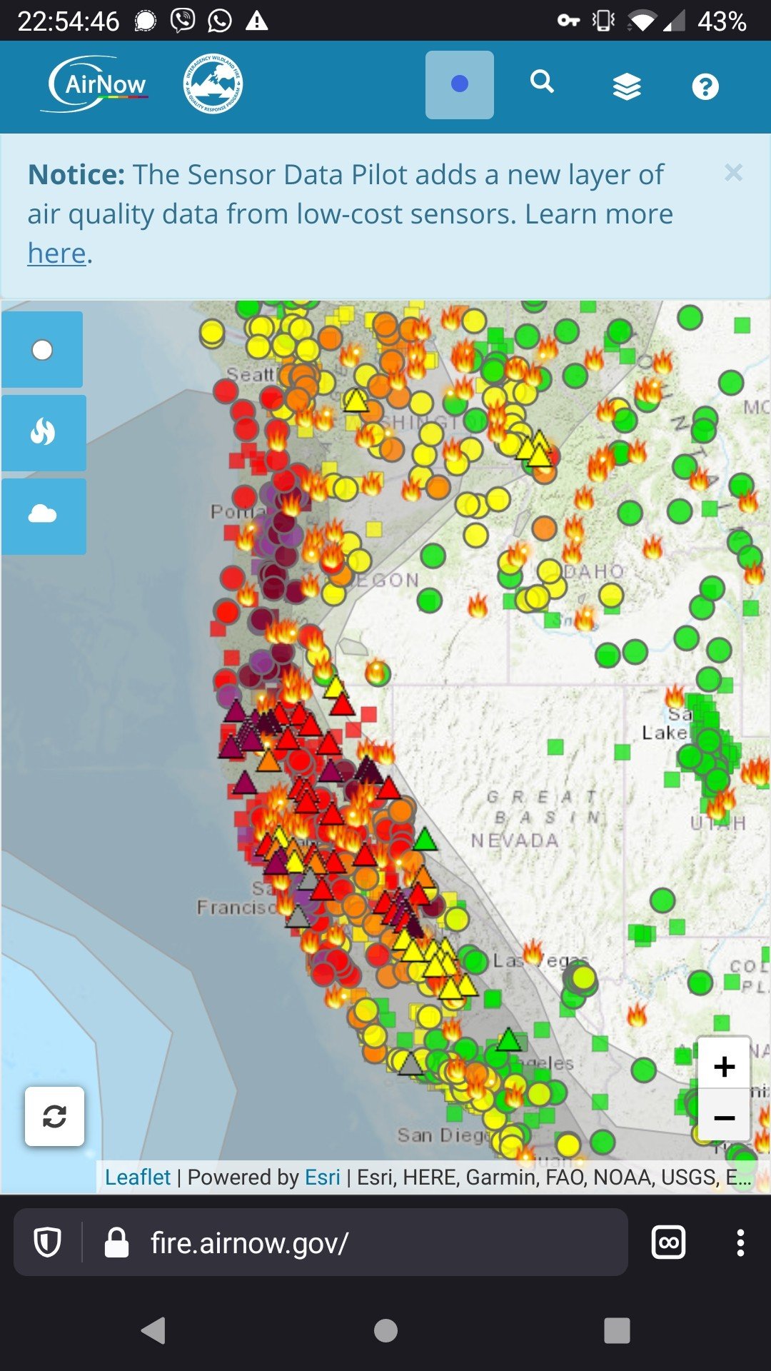
There is hardly a city in the state where people can breathe safely. And this could continue for months. If you compare air quality to cigarette smoking, we could exit this fall with the equivalent of our entire state smoking an average of 4 cigarettes a day1. We can’t build housing differently to solve that problem.
Yes, building in the path of destruction is a slice of the trauma we’re facing now as a state. But it’s a slice and not the cause.
-
The study claims that a PM2.5 level of 22 μg/m^3 is the equivalent of 1 cigarette a day. The 4 cigarettes number assumes that on average, everyone experiences a PM2.5 level of 90 μg/m^3 for the next few months. The current average (as calculated by data from the EPA) in Alameda County for the last 31 days has been 92. The EPA’s data, however, does not include as many sensors as the Airnow website. ↩
Related Posts
-
microblogging and the scientific method >> It's officially been a week+ since I started the m...
-
nuance >> Larry Wilmore- "They celebrate nuance over clarity...
-
im thinking of ending things >> a kaufman movie review
-
hey, HR? just post the salary bands online >> A company reached out to me today, saying they were hiring. Here's a quote...
-
down the diy rabbithole >> Spent a bunch of time last night searching for way...